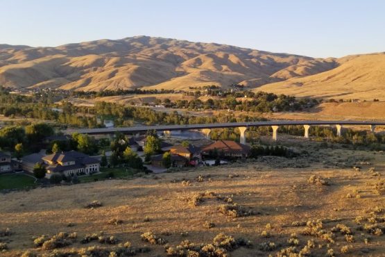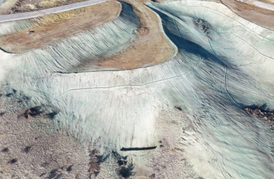
Topographic Mapping Surveys
We’ll establish elevations on your parcel and provide a detailed map of the site.
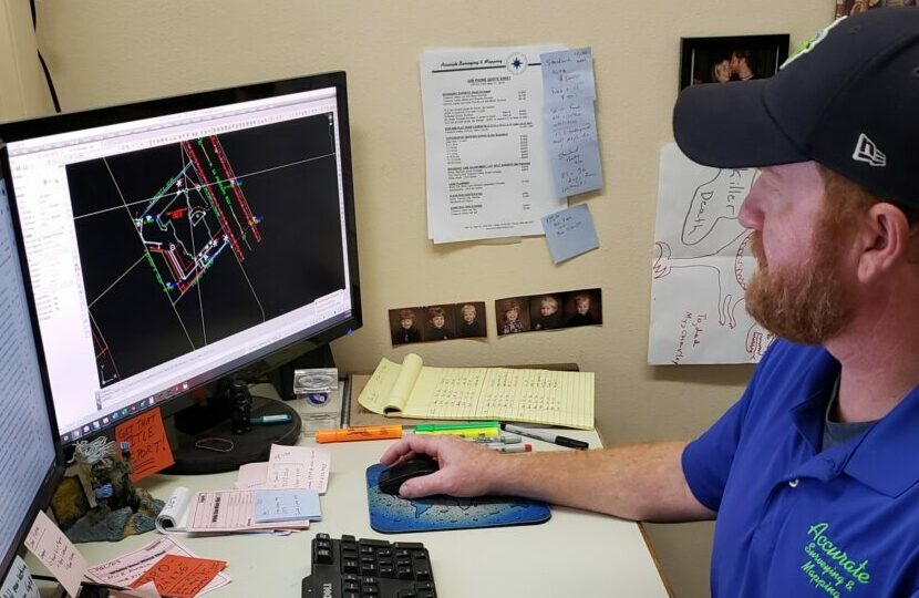
ALTA/NSPS Surveys
We’ll provide a site inventory to your specifications and ALTA/NSPS standards.
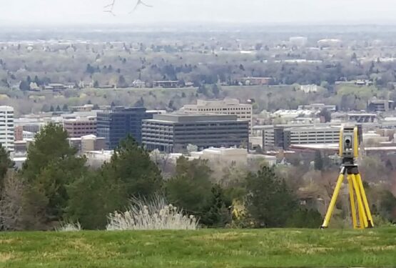
Land Descriptions
We’ll properly describe your parcel or easement for the desired outcome.
Boundary Adjustment Survey
We’ll assist you in adjusting your parcel boundaries to your desired location.

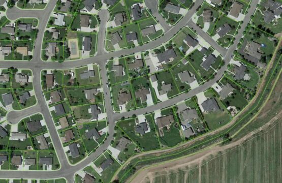
Aerial Mapping Surveys
We’ll provide a detailed image overlay of your site suited to your project specifications.

