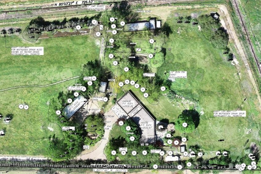
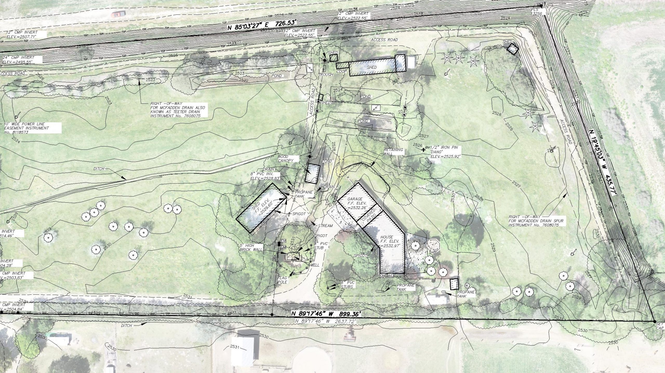
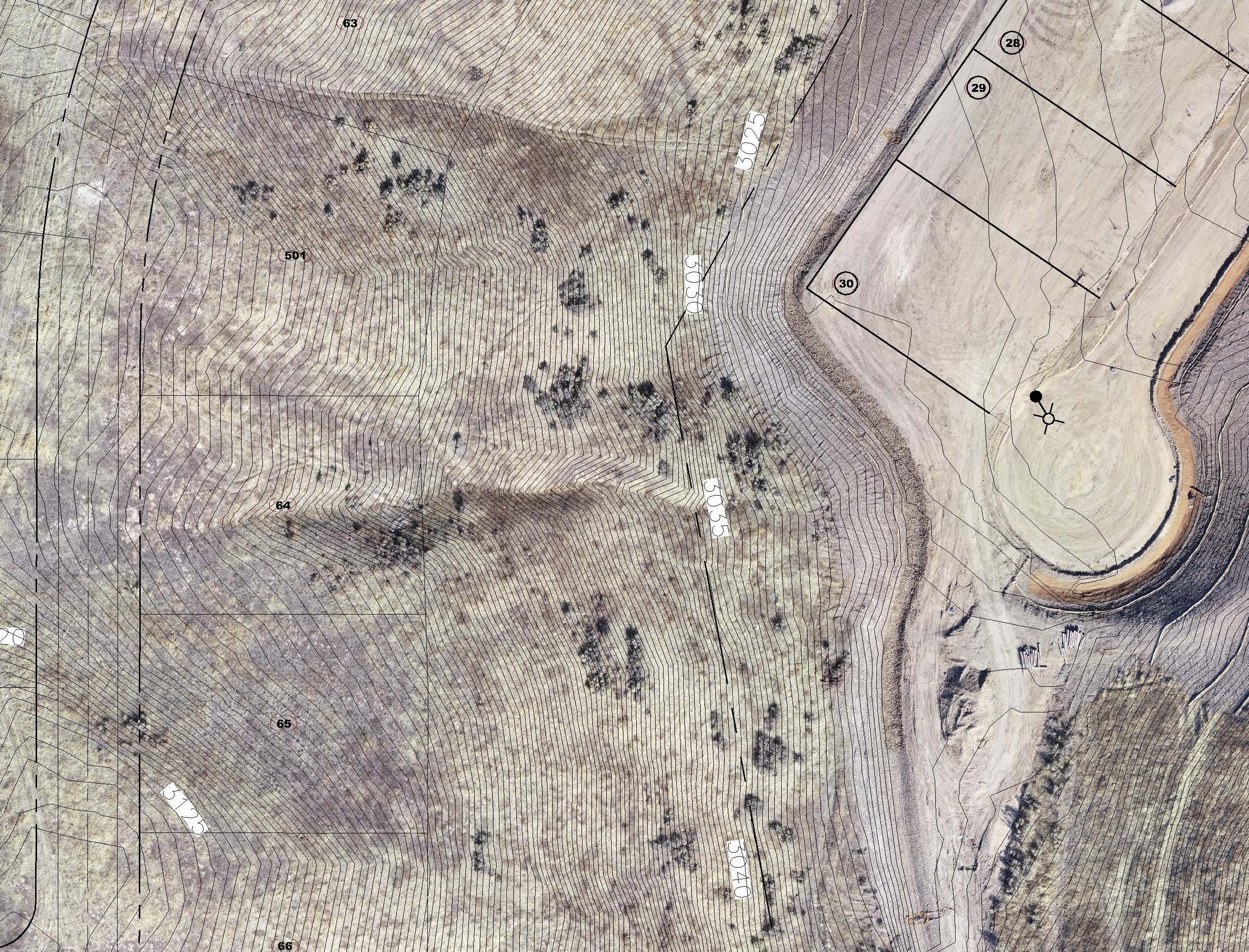
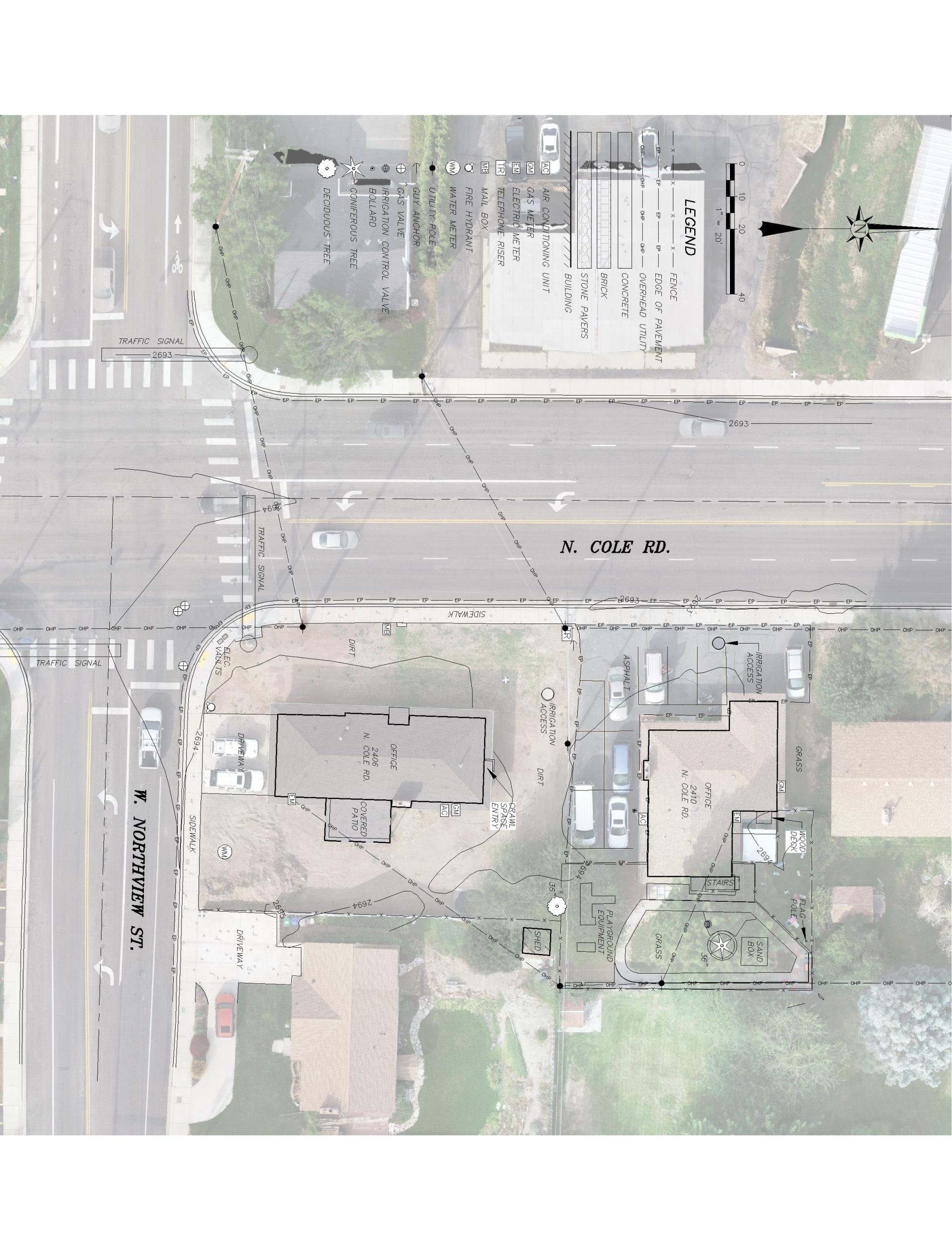
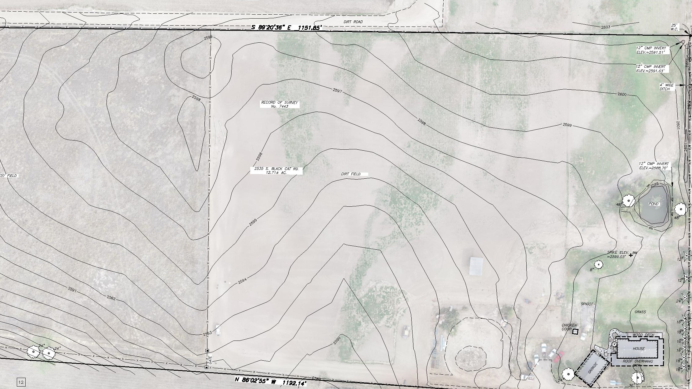
We’ll establish elevations on your parcel and provide a detailed map of the site.
Topographic mapping shows the “relief of the surface of the earth (ground) and the location of natural and artificial objects thereon.” Accurate Surveying & Mapping will measure and record the X,Y& Z coordinates of specific points on the ground and compile this information electronically to produce a contoured map. This information is often used by engineers, architects and others to plan for site improvements. We can customize our efforts to the individualized mapping needs of each client, and produce maps that contain as much or as little information required by the specific project. In addition to our full-size topo maps, electronic CAD files are often provided by request.

