We’ll provide a site inventory to your specifications and ALTA/NSPS standards.
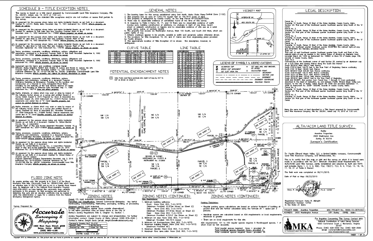
The A.L.T.A./A.S.C.M. Land Title Survey, is a boundary survey that conforms to the rules set forth in the “minimum standards” adopted by the American Land Title Association and the American Congress on Surveying and Mapping. Accurate Surveying & Mapping will provide our clients and/or their Title Company an ALTA map that shows all of the necessary items impacting land title. Any possible encroachments, easements, rights of way and improvements upon the land are shown and any other information as required under “Table A” options can be provided. We will need a current title commitment and a thorough list of all options to be completed before we can determine a scope of services and contract for this work. In addition to the ALTA map, quite often a Record of Survey map must also be created and filed with the appropriate county.