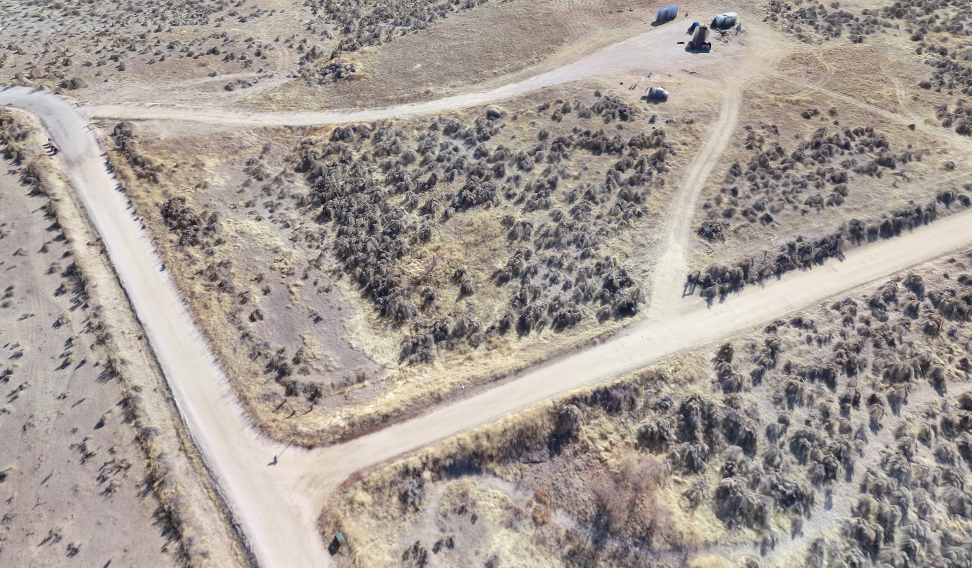
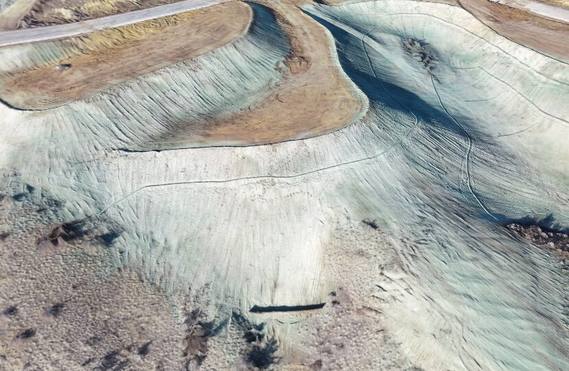
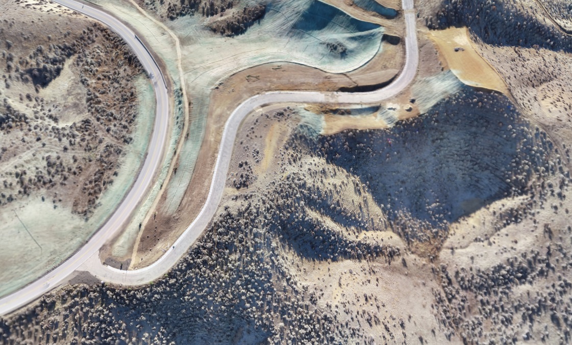
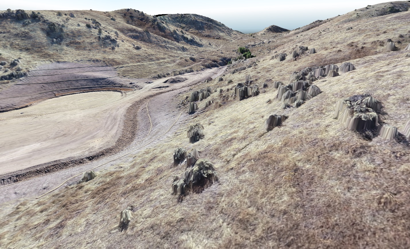
We’ll provide a detailed image overlay of your site suited to your project specifications.
Not only does aerial imagery provide a snapshot of your property on the day we visit, but we are able to use it as a tool to collect elevations and build surfaces for engineering uses.
This new technology is expanding in its usefulness and we are open to new possibilities. From 3-D Modeling to infrared photography for farmers. Let us know how we can aid you.


